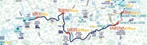
Network Description
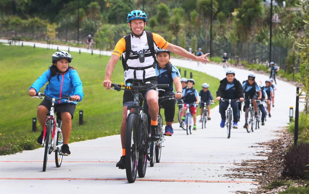
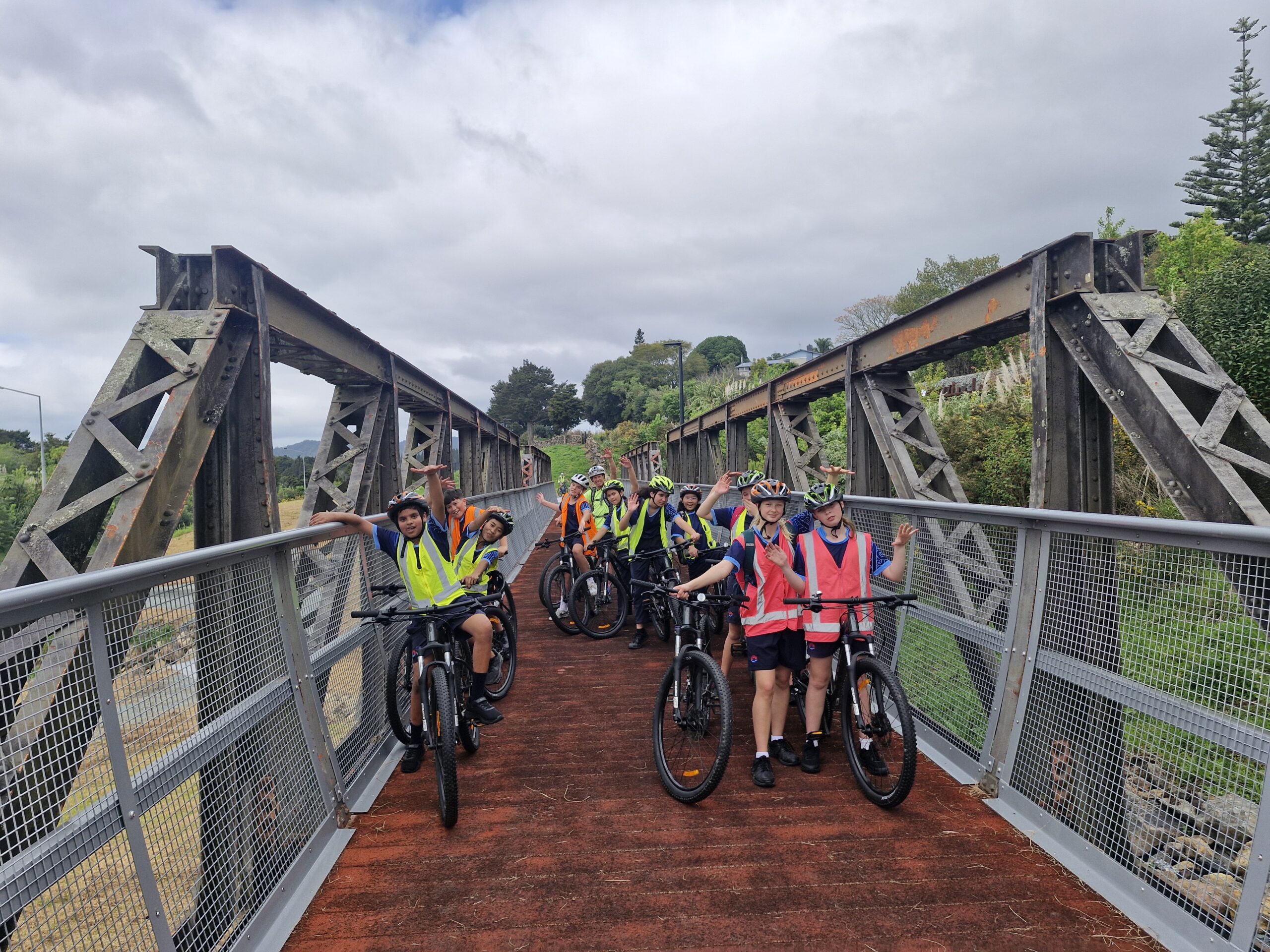
The Whangarei cycleway network is a project that connects the main residential areas of Whangarei with the Central Business District and other places people frequent, like shopping centers, sports fields, and schools. There are three shared paths already completed—the Kamo, Onerahi, and Raumanga shared paths. There are plans to increase the network in the future.
Distance: 1-20 km.
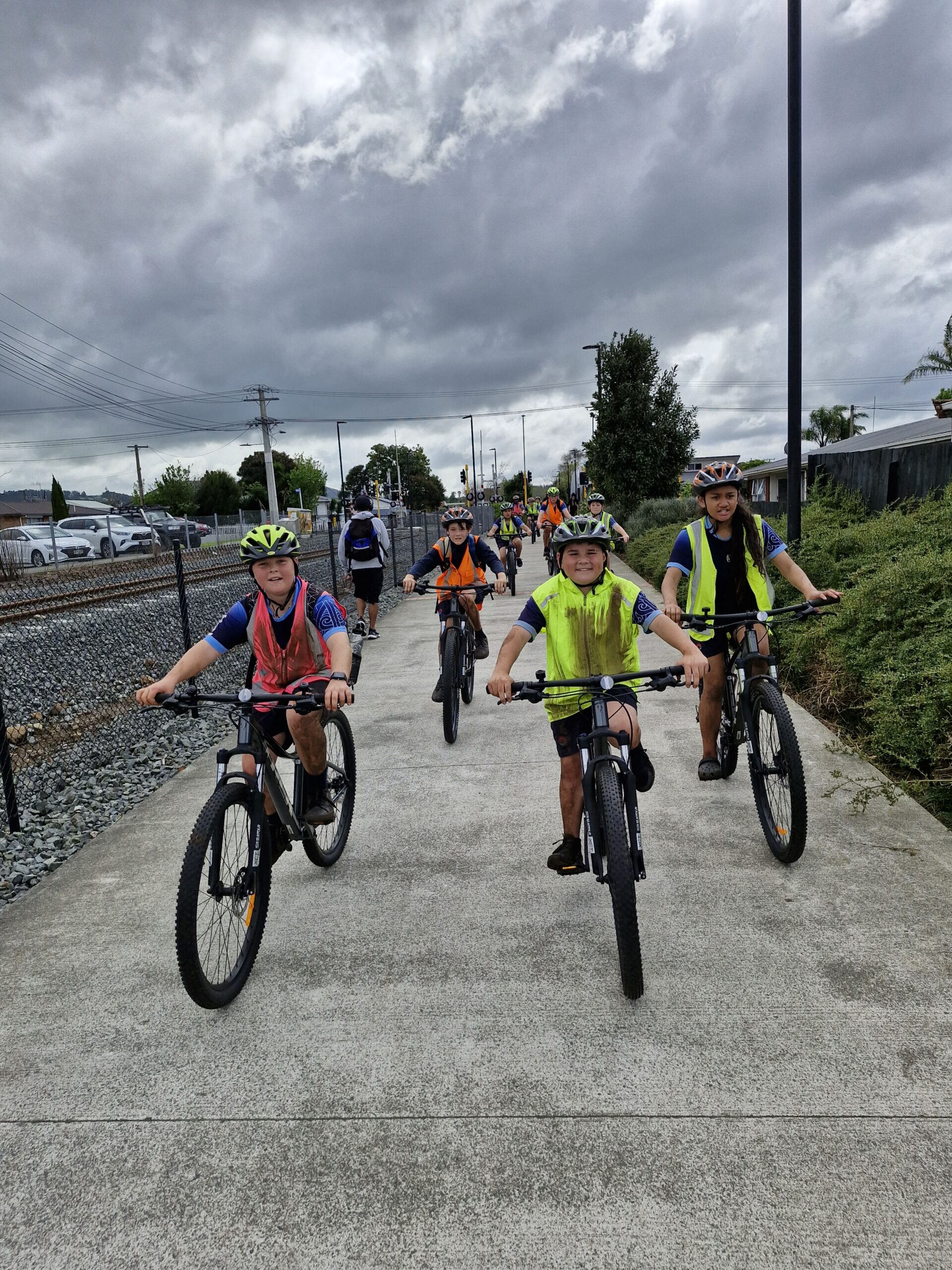
Surface: Concrete, smooth.
Time: Anything from 20 minutes to a few hours.
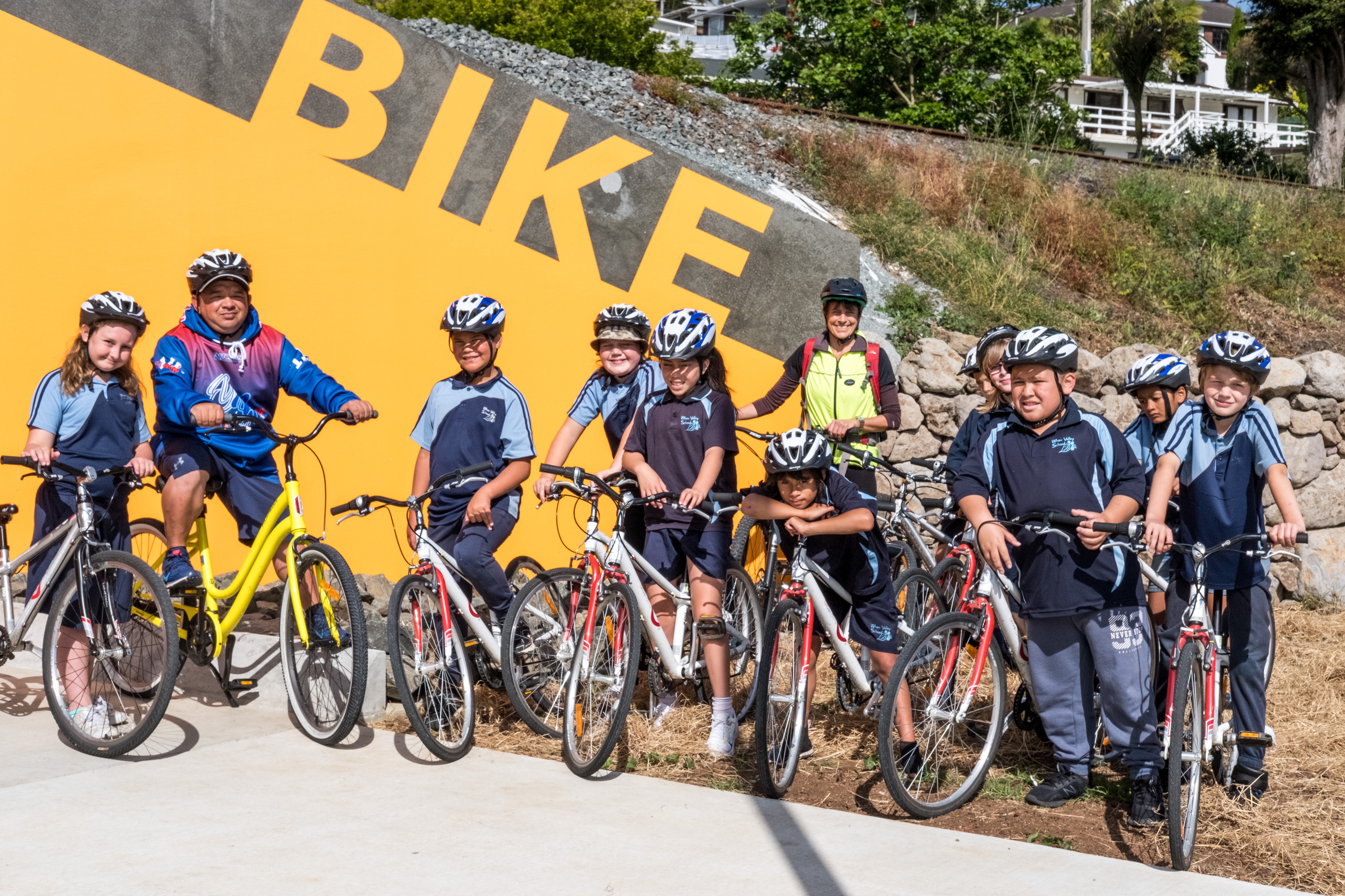
Mode: Suitable for bikes, adaptive bikes, kids, scooters, prams, wheelchairs.
Amenities: Depending on your chosen route, you will pass sports grounds, schools, playgrounds and toilets
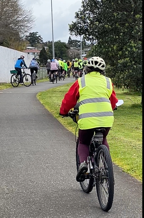
These are shared user paths meaning there are people walking, scooting and in mobility scooters as well as bikes. Please keep left at all times, and ring your bell when passing others.
Maps
Download Map (PDF)