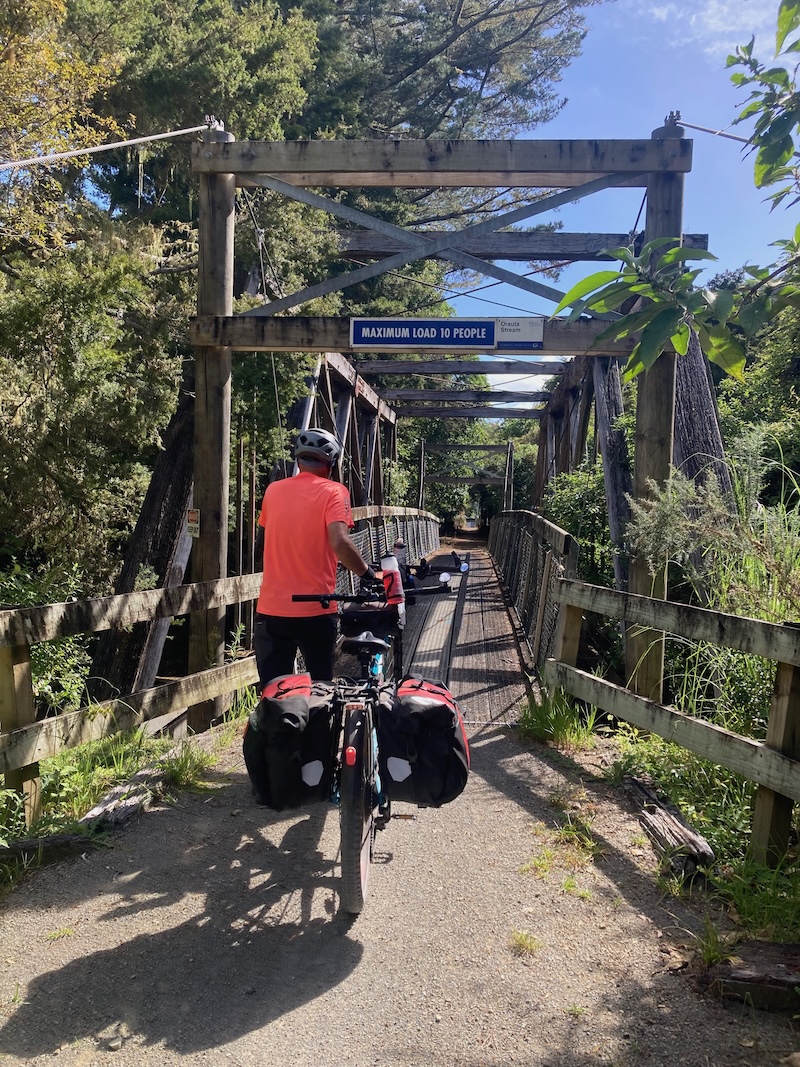
We have ridden the Pou Herenga Tai Twin Coast Trail on a variety of bikes, including manual mountain bikes and even folding bikes, but our most recent experience was on a laden e-tandem.
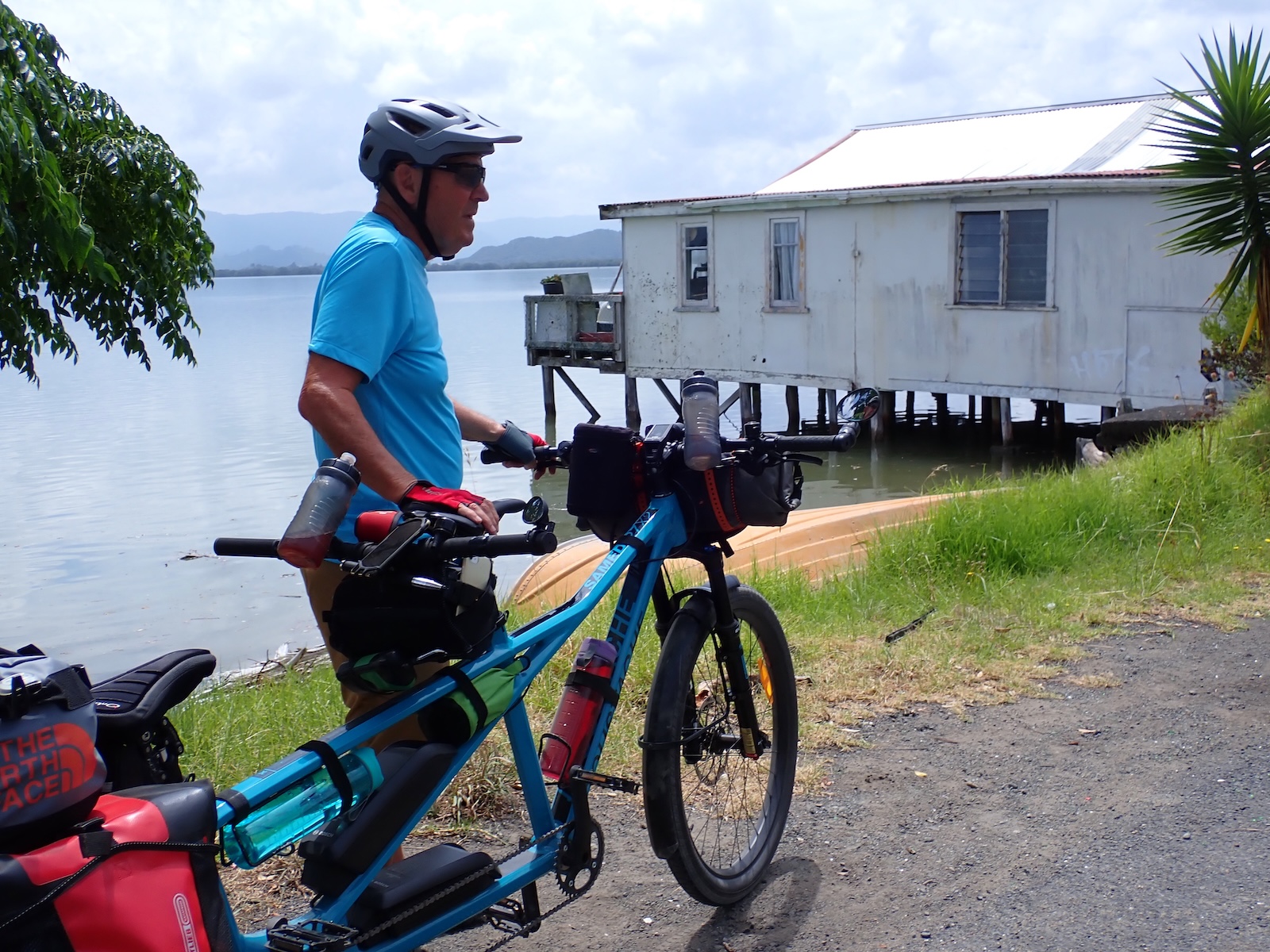
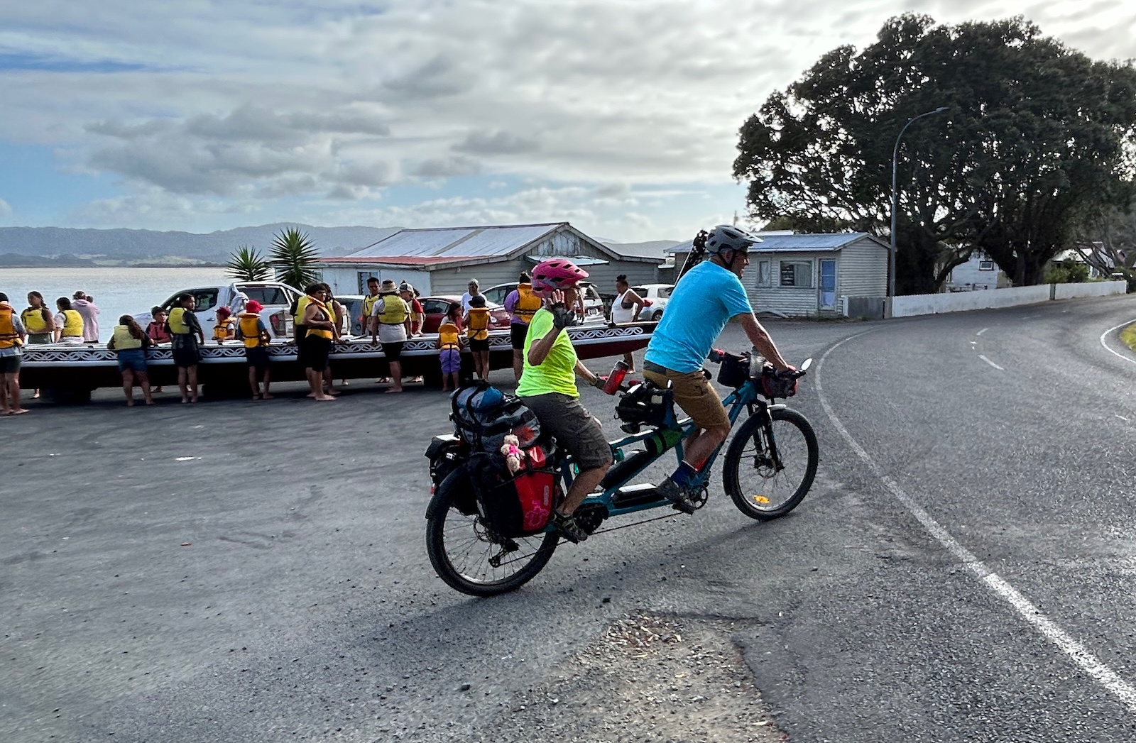
We had decided to undertake an unsupported 7,300 km ride around Aotearoa / New Zealand on a newly acquired e-tandem, and being Northlanders, the Twin Coast Trail formed part of our very first day’s ride on that journey. We had never ridden a tandem before getting our Moustache (brand) and only had a few hours in the saddle before we set off. This was going to be a steep learning curve, especially with 185 kg of weight (the bike, 2 riders and all of our gear) to manoeuvre on narrow trails and gravel roads.
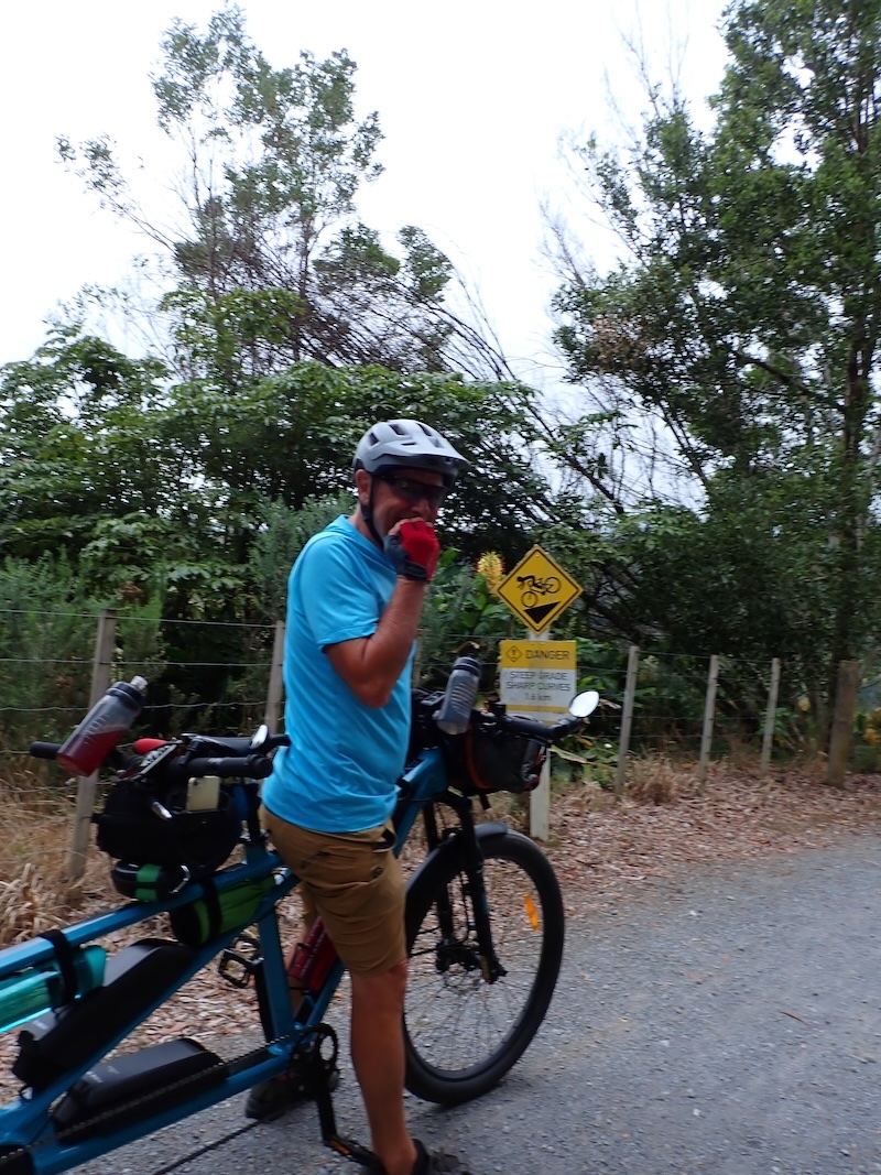
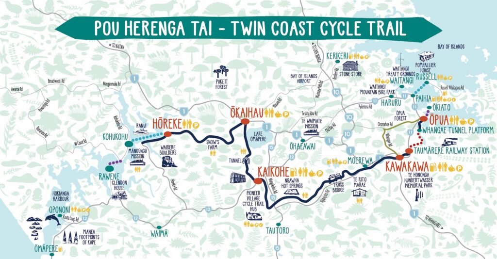
We started in Kerikeri and joined the trail at Okaihau heading for our first destination, Horeke. We were thankful for the Twin Coast’s good surface and manageable terrain and, of course, the fact that from Okaihau, which is around 260 m above sea level, it was mostly downhill as we headed out to the Hokianga Harbour.
We encountered our first switchbacks of our journey about 5 km along the trail. These descend (in our case) the steepest part of the entire trail. Fortunately, here the trail was wide and well maintained, but given our limited experience with the big bike, we decided to walk it around the tighter turns.
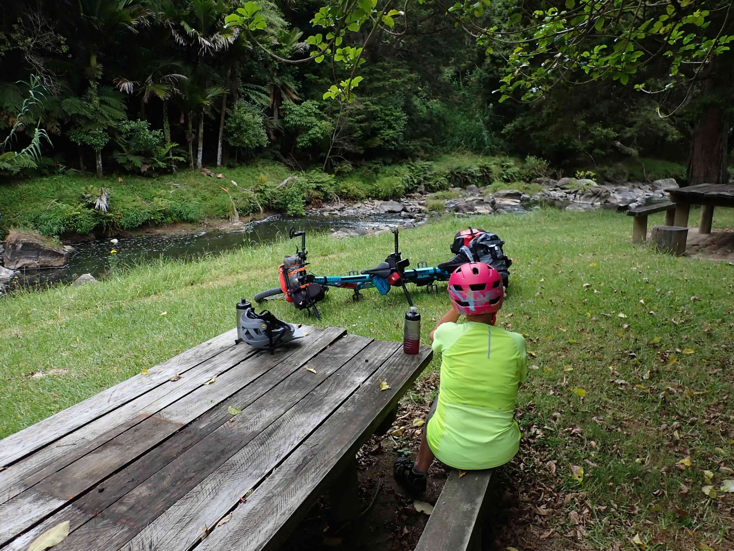
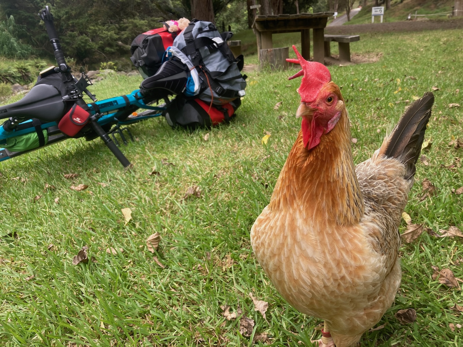
Once we had negotiated the descent, it was a pleasant ride, much of it alongside a tumbling stream. We stopped for a break at Snow’s farm, where there is a pleasant streamside picnic spot with toilets. That night we stayed at the Horeke Pub, as the ‘grunt on the front’ did not want to kill the expedition by camping at nearby Waiere Boulders. We had arrived the day before the annual celebrations of the largest signing of the Treaty of Waitangi that took place at the Mangungu Mission just along the road.
The trail was a great shakedown for the rest of the journey that eventually took us along many of New Zealand’s other great rides, several proving to be far more challenging on a big bike.
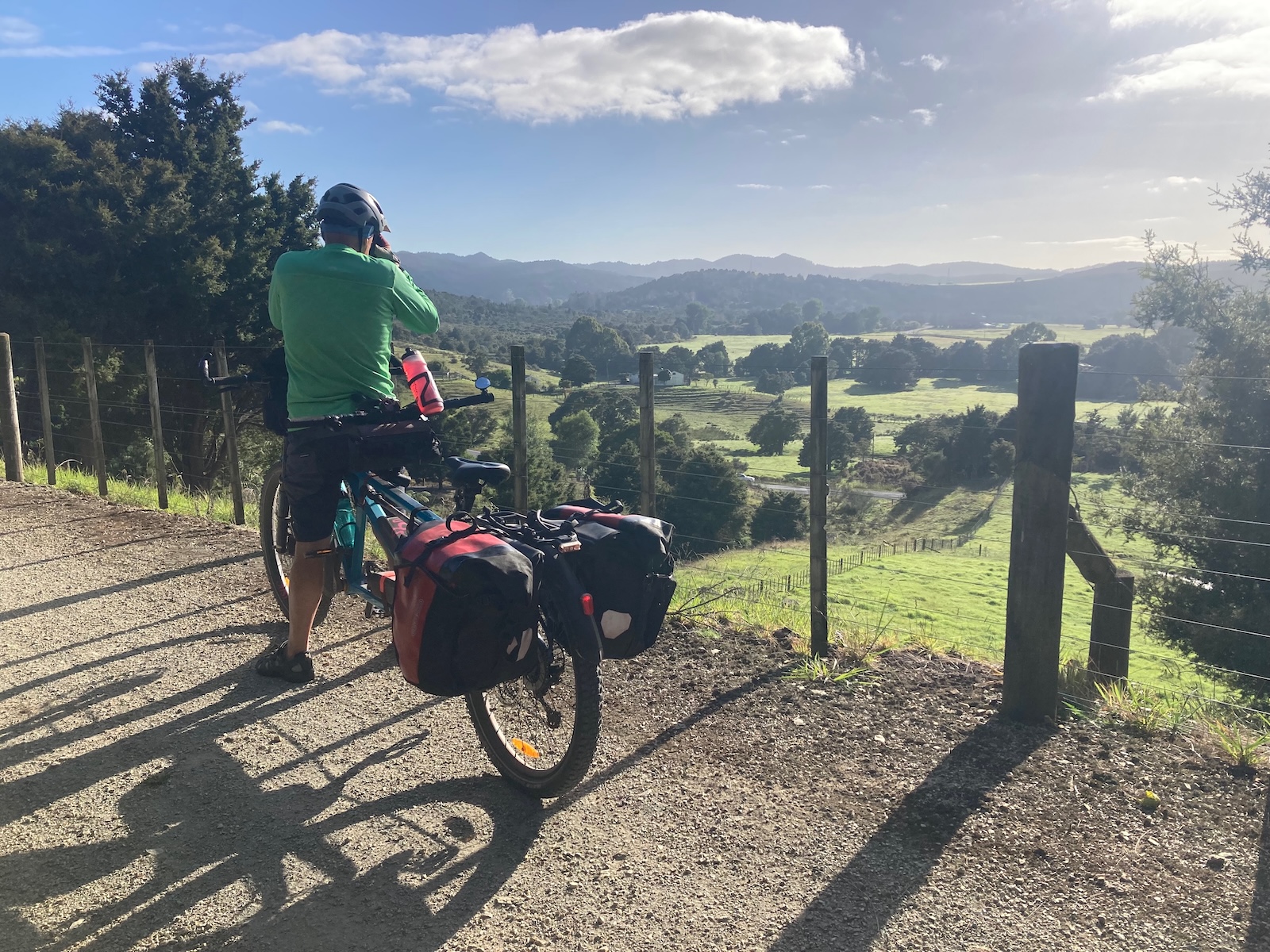
Earlier this year, and after a long break from our circuit of Aotearoa, we decided that we would dust off our touring gear and complete the trail by riding a circuit from Kerikeri via Kaikohe, Kawakawa, Russell and Paihia, which included the Twin Coast Trail. Again, we joined the trail in Okaihau, but this time we were heading towards Opua at the Bay of Islands terminus of the trail. In this direction, once past the old rail tunnel, the trail is a very gentle descent. It mostly follows the route of the old railway line between Okaihau and Opua. Along the way you pass Northland’s largest lake, Lake Omapere, and encounter the usual trappings of a rail trail, including a tunnel and some historic truss bridges. We had taken a rather long detour from Kerikeri to Okaihau and so decided to stay in Kaikohe for the night and were very pleased with that decision.
The next day’s ride to Kawakawa was a doddle. We took a long lunch break at Kawakawa railway station, not because we needed the break but because it was so busy. Rather than take the train from Taumarere Station to Whangae Tunnel Platform, we decided to ride to Opua via Whangae and Oromahoe Roads. During our tour around NZ, we had spent 428 hours pedalling the big bike over some of the roughest terrain the country could throw at us, so we felt we could manage these two gravel roads. Fortunately, the ‘Grunt on the Front’ had ridden this route in the other direction on his mountain bike, so we were not uninformed about the terrain. While we managed it without any issues, it is a challenging ride. These are rough gravel roads, with corrugations and very steep cambers on several corners, and for riders who are inexperienced with this type of riding, our advice is to stick with the train option. On the plus side, we encountered zero vehicles.
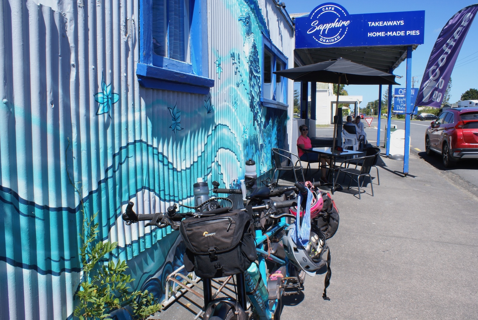
How did the Twin Coast Trail compare to some of the other more famous great rides? It has some quite distinct features from the rest. It is, of course, the most northern, which makes it very rideable year-round. It runs across the country between the Tasman Sea on the west coast and the Pacific Ocean on the east. The landscapes are unique to Northland, and the whole area is steeped in very early Maori and European history. We found many storyboards along the trail that gave life to both the landscapes and the history. The towns and villages that you ride through are also very distinctly Northland and not too far apart. The trail has good services, including well-spaced shelters with seating and welcome toilets. There are cafes and accommodation providers in the towns and villages.
Living in nearby Kerikeri, we find that the trail is ideal for shorter day rides out of any of the towns. Overall, it got the thumbs up from us and has the added benefit of being a ride suitable for most levels of riding experience.
Russell is only a short ferry ride and 9 km further on from Opua. We rode along the road, but there are now sections of off-road shared paths that you can ride. The Bay of Islands Walking Trust is aiming to have a shared path available along the entire route.
The official website for the trail is a fabulous resource that you should visit before your first or next ride along the trail.
Some Trail Facts
I recently had the opportunity to chat with the trail manager, Tracey Dalton, and was keen to learn a little more about the trail’s history and popularity.
She told me that the 87km trail was completed in 2017 and is owned by the Far North District Council but is managed by a charitable trust that was set up to promote and manage the daily operations of it. I was pleasantly surprised to learn that in the year to June 2025, there had been 41,000 users, including 27,000 visitors to Northland, estimated to have contributed around $23 million to the regional economy.
The trail now supports 200 full-time equivalent jobs and fosters 50 local tourism operators. Tracey said that they also estimate that the health benefits of getting people into the great outdoors are worth around $13.3 million.
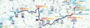
Here is a Komoot map covering the rides. If you view the map on Komoot, GPX files are available to download and use on your favourite biking app.