
Trail Description
This is a community-led project with significant volunteer hours already having been committed to this trail between Opua and Russell. The additional works will ultimately provide a new shared path for, particularly, cyclists and runners to travel on to Hōreke (via the Pou Herenga Trail).
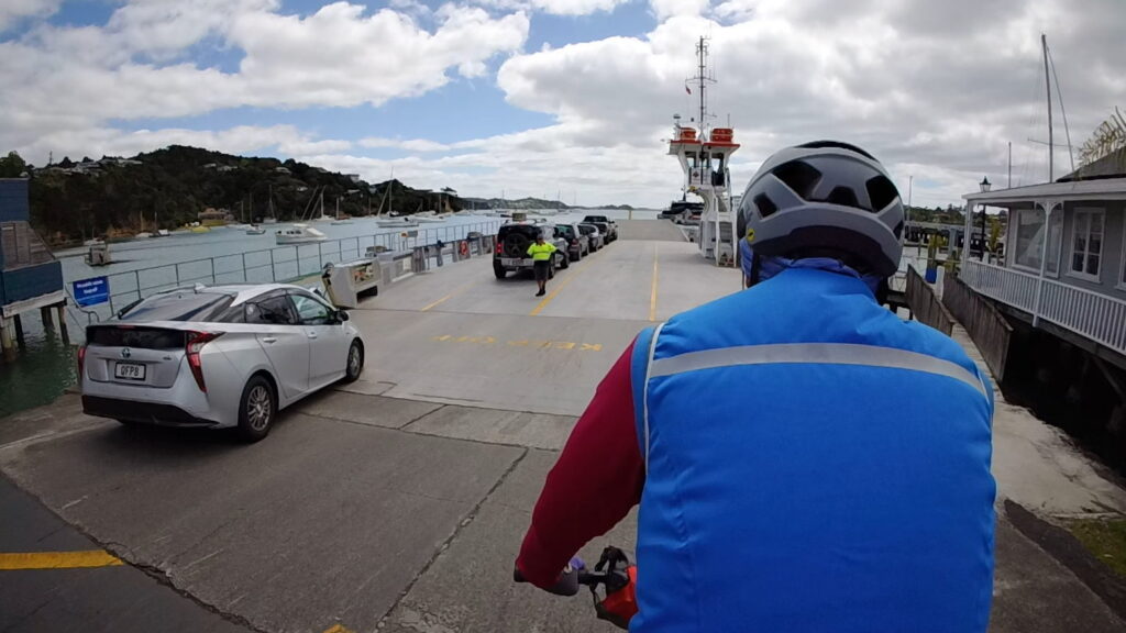
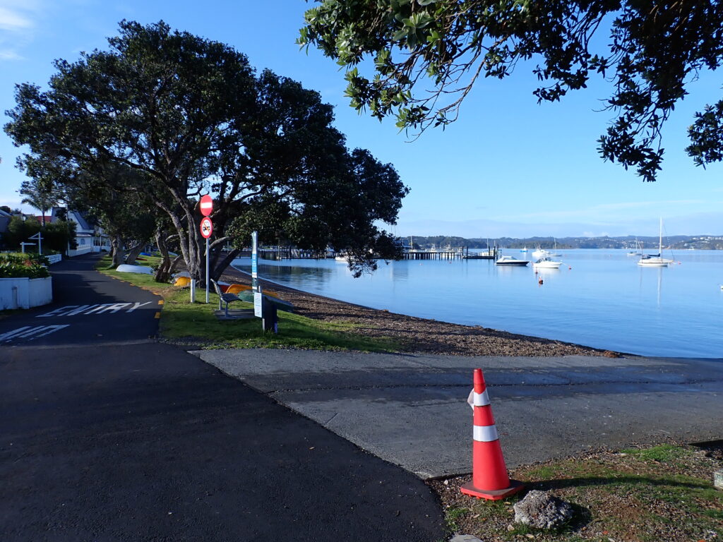
A well-established walking path (see Komoot map below) from the ferry terminal at Okaito to Russell has been in use for many years but several sections of this are not suitable for bicycles and they are not permitted. Volunteers from the Bay of Islands Walkways Trust have upgraded sections into a shared path and created new sections of shared path parallel to the road. If you are cycling from Opua, there are still some sections of road to ride, and you have a ferry crossing – these run frequently. However, outside of holiday periods, traffic is light, especially between ferry crossings. Sections of the current walking trail are not suitable for bikes, and they are not permitted on it (see maps below).
The project is maintained by the community with no operational cost to the council.
Status: Operational (Walking) – Partial (Cycling)

Trail Maps
There are two maps below – the top map displays the current cycling route, which is a mix of road and trail – the bottom shows the walking route. NOTE: Clicking on a Komoot map will take you to a more detailed overview of the ride. You will be able to view basic data, or you can sign up for free to view full details. If you download the Komoot app, you can navigate the trails on your mobile device. Komoot also provides a GPX file.

Cycling Route

Walking Trail
Website: https://boiwalkways.weebly.com/